|
|
|
|
|
Just ahead of AERO Friedrichshafen, we quietly launched one of our biggest updates yet—EasyVFR 4.5.
|
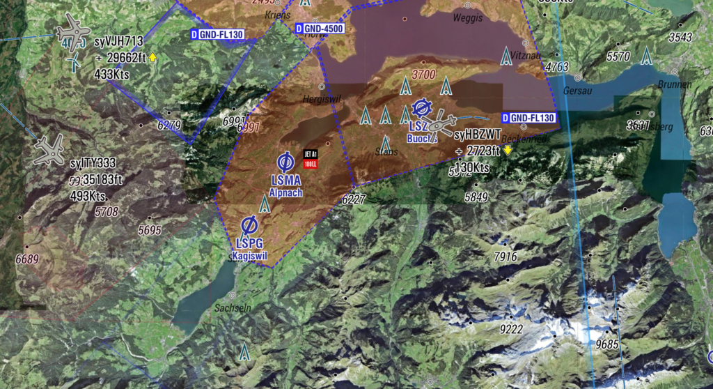
Visitors at AERO were genuinely excited about what they saw—especially the new high-definition Satellite basemap, which received an incredibly warm welcome. Now we’re excited to share it with you and the rest of the EasyVFR community.
|
|
|
|
|
Here’s a quick overview of what’s new:
|
- 🗺️ New Basemaps – Satellite, OpenStreetMap, OpenTopo, and more
- 🔎 Smarter FRD Search – Use any aeronautical object or place name
- 🧾 Cleaner NOTAMs – No more duplicates, smarter shapes, tap-to-view
- 🏔️ Better TripKit – Safer MSA calculations + landing weight and CG
- 🌉 Line Obstacles – Cable cars, powerlines, and bridges in Norway & Austria
- 🛠️ Quality-of-Life Fixes – Faster map rendering, Realtime Rendering for more devices, Google Direct-To, and more
|
|
|
|
|
|
Behind the Scenes
Some of the most exciting work is happening under the hood. We’ve made major upgrades to our infrastructure and data pipelines, laying the groundwork for even more EasyVFR innovations—and opening the door for our partners to tap into what we do best. More on that later. 😉
|
- 📡 Bluetooth cockpit connectivity
- 🗺️ New chart providers
- ⚡ Faster NOTAM & dynamic airspace processing
- ✨ And… a few surprises we’ll reveal later this season.
A heartfelt thank-you to our amazing beta testers—your feedback continues to shape and improve EasyVFR every step of the way. 🙏
|
Go ahead, explore EasyVFR 4.5—and let us know what you think!
|
Blue skies and safe flying,
— The EasyVFR Team ✈️
|
|

|
    
|
|
|
|