New Zealand Topo250 by LINZ (AUG2024)
€4,95 inc. VAT
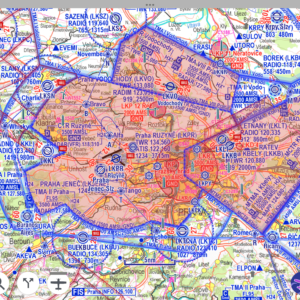
The LINZ Topo250 Raster Chart by LINZ is an excellent alternative to the default basemaps in EasyVFR 4 or Dynon SkyView. Providing topographic mapping for the New Zealand mainland, the Chatham Islands at 1:250,000 scale. Although it doesn’t include aviation data, EasyVFR 4 and Dynon SkyView overlay vectorized aviation data directly onto this chart, giving you the best of both worlds
The LINZ Topo250 Raster Chart by LINZ is an excellent alternative to the default basemaps in EasyVFR 4 or Dynon SkyView. It offers detailed topographical and terrain information specifically for New Zealand. Although it doesn’t include aviation data, EasyVFR 4 and Dynon SkyView overlay vectorized aviation data directly onto this chart, giving you the best of both worlds.
For EasyVFR 4, the aviation data is automatically displayed as vectorized overlays. For SkyView, be sure to set "Show Aviation Data Over Chart" to "Yes" in Menu -> Map Setup -> Map Mode. Please note, you'll need a valid Dynon Data Only or FFM license to overlay aviation data.
Sourced from the LINZ Data Service and licensed for reuse under the CC BY 4.0 licence.
Extra informatie
| Necessary Plan | EasyVFR Essential, EasyVFR Live, EasyVFR Pro, Frequent Flyer Membership |
|---|---|
| Compatibility | Advanced Flight Systems AFS-5/6XXX series, Dynon Certified, EasyVFR 4, Dynon SkyView Classic and HDX |
| Delivery Methode | Download from website to EFIS USB stick, Download within EasyVFR 4 app, Export from EasyVFR 4 app to EFIS USB stick |
| Country and Region Coverage | New Zealand |
| FIR coverage | Auckland Oceanic NZZO, New Zealand NZZC |