highly detailed and familiar map design
Rogers Data Charts Integration
Welcome to the world of Rogers Data VFR ICAO charts, now fully integrated into the EasyVFR ecosystem! Bring their highly detailed and familiar map design to the EasyVFR 4 App and Dynon Avionics Systems for a seamless navigation experience.
Whether you’re planning your next adventure or navigating the skies, Rogers Data charts provide the precision and detail you need, combined with the interactivity and situational awareness of EasyVFR AeroData.

Rogers Data VFR Aeronautical Charts
Rogers Data VFR aeronautical– ICAO charts provide pilots with exceptional detail and accuracy, ensuring safe and efficient navigation. Featuring high-quality topographic maps with shading and relief, these charts create a dynamic 3D impression that enhances situational awareness. They include detailed ATS airspace structures, navigation aids, and safety features such as danger zones, obstacles, and high-voltage powerlines, making them ideal for low-level operations. Based on the latest aeronautical information from AIP and CAA supplements, Rogers Data charts adhere to ICAO Annex 4 and EU regulations, offering pilots the precision and reliability they need for every flight.

In EasyVFR 4 App

In Dynon Skyview
Discover The Add-on Charts
Rogers Data chart subscriptions are available as add-ons to all EasyVFR App and Dynon subscriptions, including EasyVFR Essential, Live, Pro, Frequent Flyer Membership, and Dynon Data Only.
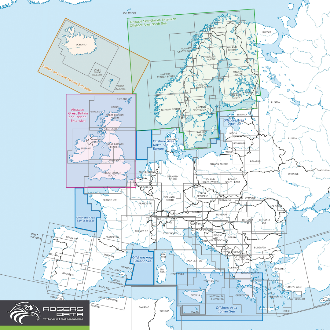
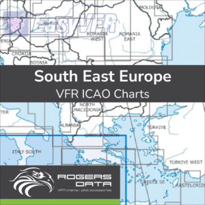
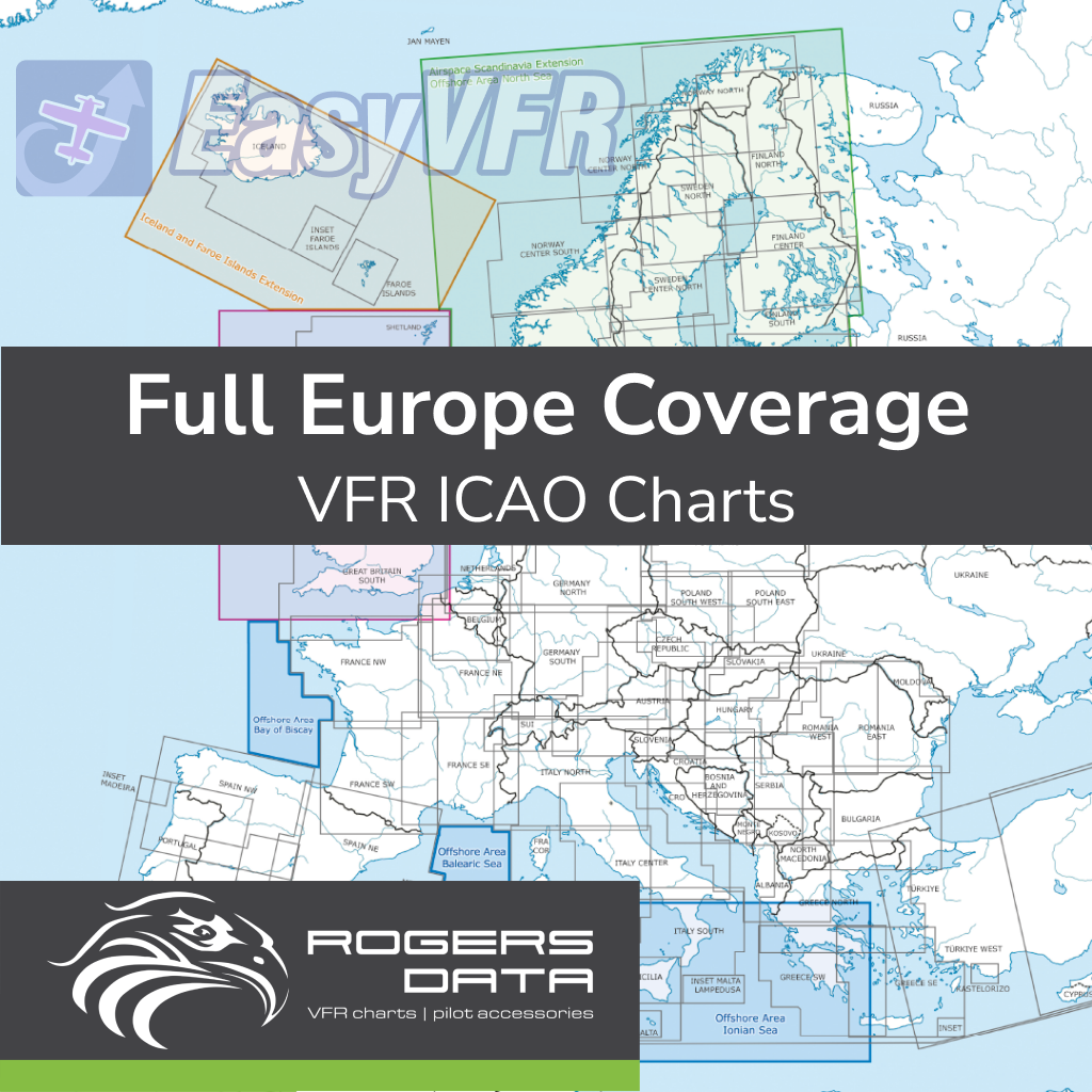
Full Europe Coverage
Navigate across Europe with the Full Europe Coverage VFR ICAO Chart 500k, covering Austria, Germany, France, Great Britain, Spain, Portugal, Scandinavia, and more, including offshore areas like the North Sea and Baltic Sea.
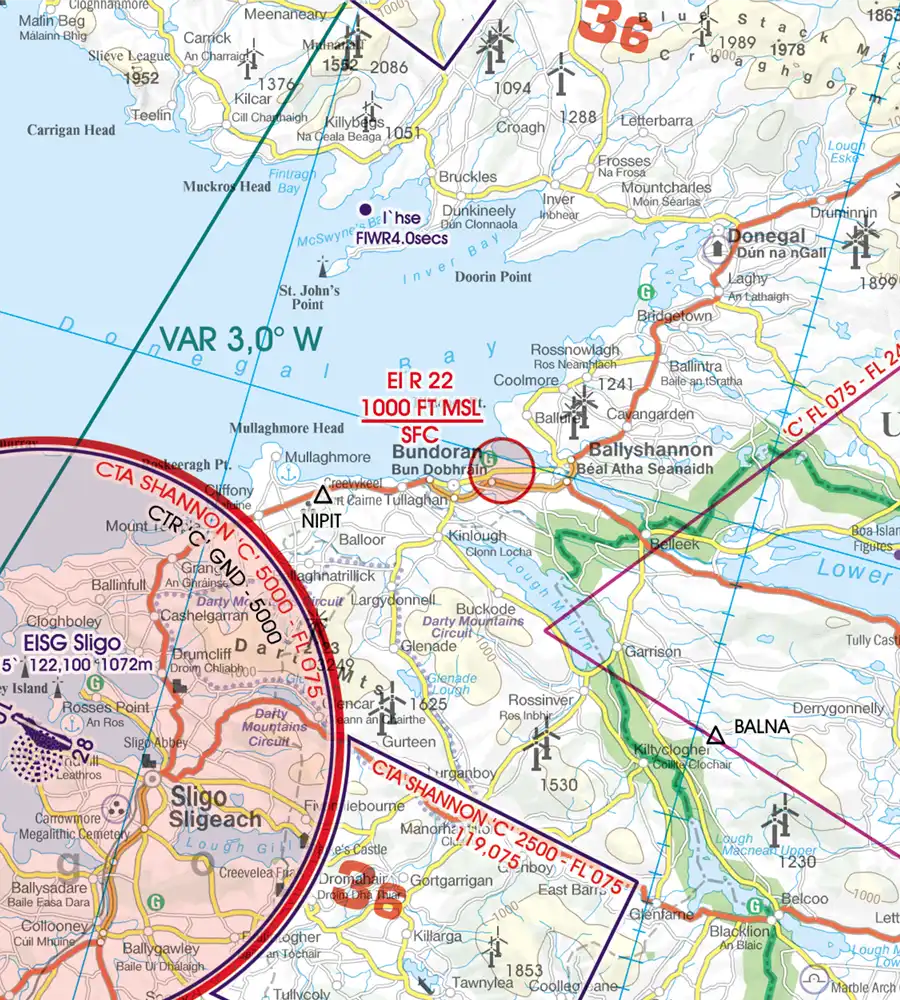
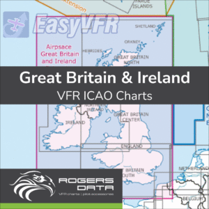
Great Britain & Ireland
Explore the skies of Great Britain and Ireland with the VFR ICAO Chart 500k, offering detailed coverage of airspace, reporting points, and unique features like offshore areas and windfarms.
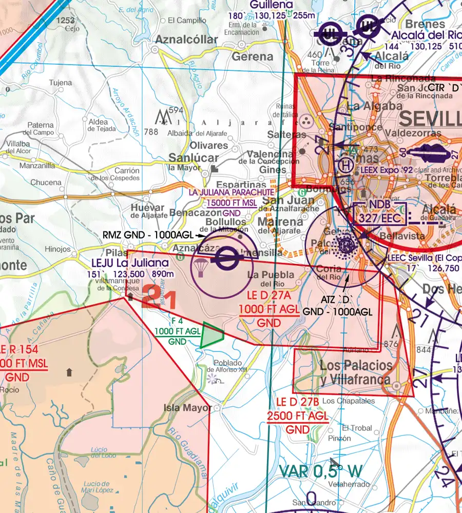
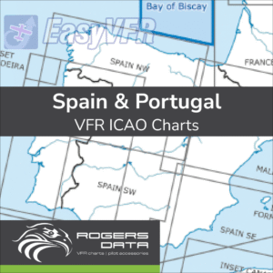
Spain & Portugal
Discover the Iberian Peninsula with the Spain & Portugal VFR ICAO Chart 500k, including coverage of the Canary Islands and Madeira, with detailed airspace structures and reporting points.
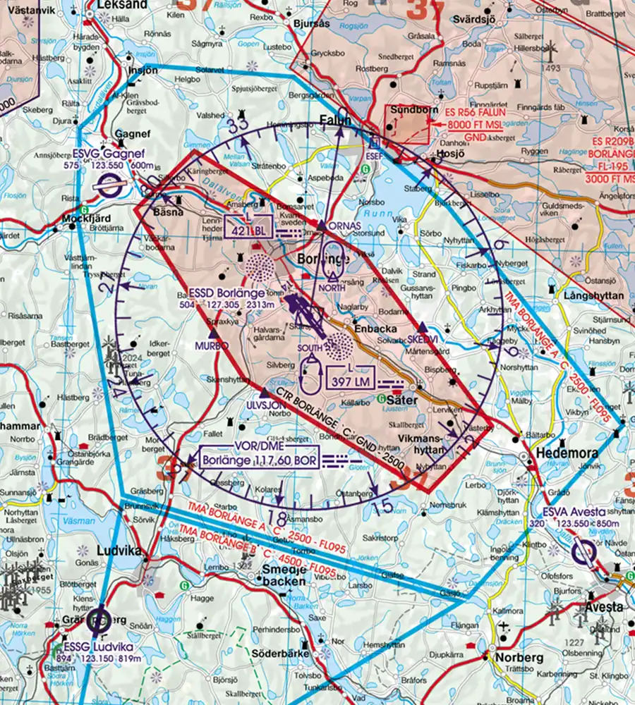
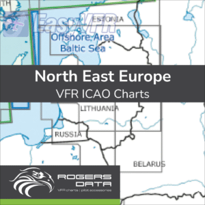
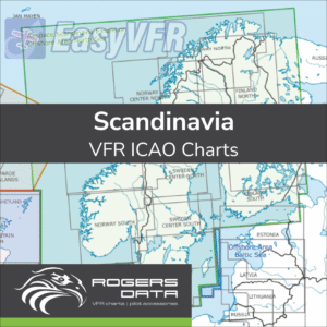
Scandinavia
Fly confidently through Scandinavia with the VFR ICAO Chart 500k, covering Finland, Norway, and Sweden, with detailed depictions of airspace, windfarms, and sensitive areas.

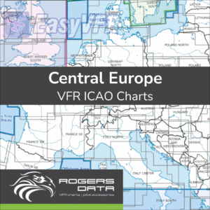
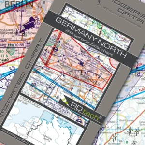
Germany
The Germany North and South VFR ICAO Charts 500k provide complete coverage of Germany, ensuring precise navigation for all regions with detailed airspace structures and reporting points.
-
Sale!
Rogers Data Full Europe Coverage VFR ICAO Chart 500k
Rogers DataOriginal price was: €660,40.€327,99Current price is: €327,99. / year Add to cart
Charts -
Rogers Data Great Britain & Ireland VFR ICAO Chart 500k
Rogers Data€89,90 inc. VAT / year Subscribe
Charts -
Rogers Data Spain & Portugal VFR ICAO Chart 500k
Rogers Data€89,90 inc. VAT / year Subscribe
Charts -
Rogers Data Scandinavia VFR ICAO Chart 500k
Rogers Data€77,90 inc. VAT / year Subscribe
Charts -
Rogers Data Germany North VFR ICAO Chart 500k
Rogers Data€34,90 inc. VAT / year Subscribe
Charts -
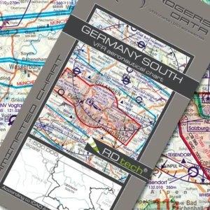
Rogers Data Germany South VFR ICAO Chart 500k
Rogers Data€34,90 inc. VAT / year Subscribe
Charts
Seamless Integration Process
How to Use Rogers Data Charts
1
Step 1: Purchase
Select the Rogers Data chart set above that best suit your flying needs.
2
Step 2: Download
After purchase, download the charts directly from your EasyVFR 4 account.
3
Step 3: Navigate
Open the EasyVFR 4 app and access your charts for enhanced navigation.