EDKB.de kooperiert mit EasyVFR 4
Füllen Sie das untenstehende Formular aus und Sie erhalten Ihren EDKB-Pilotenrabatt per E-Mail.
Vielen Dank für Ihr Interesse an EasyVFR 4! Unser Flugplaner für Windows, macOS, iPad/iPhone und Android wird dank der Kooperation mit EDKB.de jetzt sehr günstig.
Zuerst...
Bitte geben Sie unten Ihre E-Mail-Adresse sorgfältig ein. Da Ihre Kontoinformationen und alle von Ihnen benötigten Rabattangebote an diese E-Mail-Adresse gesendet werden, führt die Eingabe einer falschen E-Mail-Adresse dazu, dass Sie EasyVFR 4 nicht verwenden können! Wenn Sie bereits über ein EasyVFR 4- oder PocketFMS-Konto verfügen, verwenden Sie bitte diese E-Mail-Adresse, damit Ihre neue Lizenz für dieses Konto gültig ist.
Spielregeln
Durch die Kooperation mit EDKB.de können wir Ihnen als „EDKB-Pilot“ EasyVFR 4 zu einem sehr wettbewerbsfähigen Preis anbieten. Dazu müssen Sie jedoch folgende Regeln einhalten:
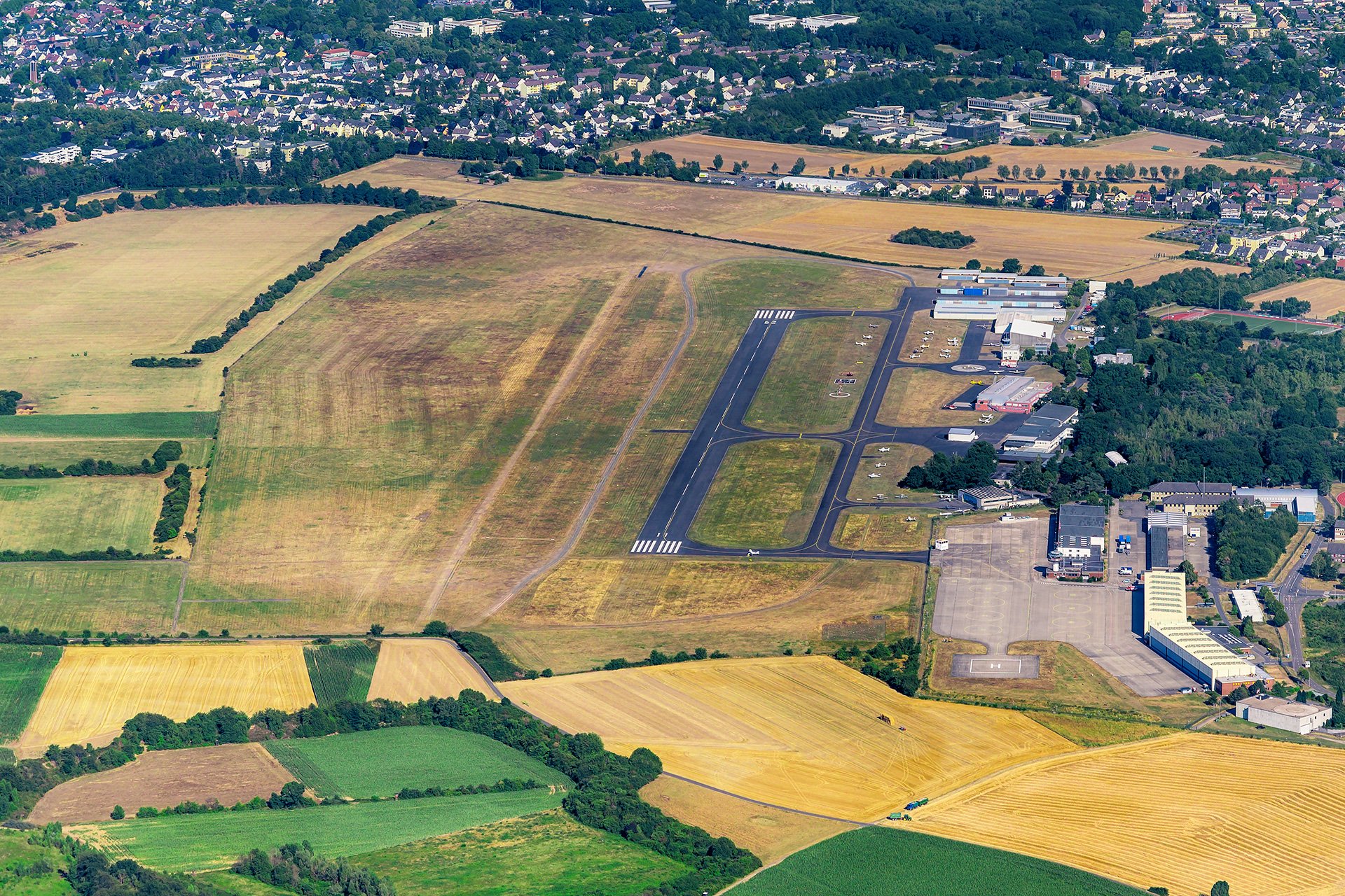
- Sie sind spätestens zwei Monate vor Abschluss eines EasyVFR 4-Abos auf dem EDKB Flugplatz Hangelar gelandet. Sie zeigen dies, indem Sie ein Foto der Seite in Ihrem Logbuch senden, auf der Ihre letzte Landung bei der EDKB verzeichnet ist.
- Ihre Lizenz wird automatisch aktiviert, sobald die Zahlung erfolgt ist.
- Solange diese Partnerschaft mit EDKB.de besteht und Sie aktiver Nutzer der EDKB Flugplatz Hangelar bleiben, können Sie diese EasyVFR 4-Lizenz jährlich zu den gleichen Bedingungen erneuern.
Official Aviation data included
The EasyVFR 4 membership provides you with updated AeroData for all European countries published in line with the 28-day AIRAC cycle.

Our AeroData includes a continuous feed of the following sources:
✓ PocketFMS AeroData
✓ AIP data from EUROCONTROL
✓ NOTAM data from EUROCONTROL
✓ AUP/UUP data from EUROCONTROL
✓ Airport Plates & Documents from EUROCONTROL
✓ Aviation Weather data from Deutscher Wetterdienst
✓ Terrain data from NASA
✓ Geographical data from EuroGeographics and OpenStreetMap
→ The PocketFMS Foundation provides since 2003 extra data on top of the official sources. The AeroData is professionally maintained and continuously updated and improved from a variety of verifiable sources. Reports of omissions that are received by us are investigated and if necessary repaired on very short notice - often the very same day.
Leading avionics manufacturers such as Dynon Avionics and MGL Avionics are also using PocketFMS AeroData to provide accurate and detailed information to their users.
→ Other regions that are part of the PocketFMS AeroData- like USA, Canada, Australia and New Zealand - will be added later on to EasyVFR 4.
System Requirments
EasyVFR 4 runs on all major 64-bit operating systems. iOS/ iPadOS, Android, Windows and macOS. A minimum of 3GB of RAM is advised. For the best experience, make sure the device has a built-in GPS (comes often only with the LTE, 3/4/5G model).
For more info and the latest status please read the article:
Compatible devices and system requirements
If you have more questions regarding a specific device, feel free to send us a message using the blue "Ask the team" button on this page, or by sending an email to [email protected]
ADS-B and Flarm recipients
Traffic and GPS data can be received from various receivers, such as:
- SkyEcho2 (uAvionics)
- Stratux
- iLevil 3 SW (Levil Aviation)
- Rosetta (PilotAware)
- DRX (Dynon Avionics)
- Stratus 3 (Appareo)
More info can be found at Connectivity
Dynon Avionics SkyView
Once you have a Dynon SkyView panel with the Wi-Fi dongle installed, EasyVFR 4 can send routes to Dynon SkyView and receive the GPS position of your SkyView.
We are also the supplier of the Aviation and Obstacle database and georeferenced maps and approach plates and documents for Dynon Skyview.
Read more at Dynon Avionics Data