
Why is 54% of restricted airspace invisible to most pilots?
Hello fellow aviator,
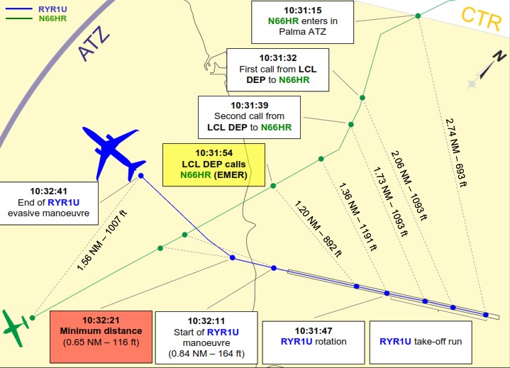
A Boeing 737 had just departed Palma de Mallorca when the crew spotted a light aircraft heading straight at them. High speed. Collision course.
The 737 took evasive action. The light aircraft did nothing.
Final separation: 116 feet vertically. 1,200 meters laterally.
The investigation found the VFR pilot was flying in controlled airspace without clearance — and wasn't even monitoring the frequency. (SKYbrary.aero)
This isn't rare. 32,800 airspace infringements were reported across Europe between 2010 and 2021. In the Netherlands alone, infringements caused 13 loss-of-separation incidents in a single year — four of them with less than half the minimum required separation.
The question is: why does this keep happening?
On this page:
The invisible airspace problem
Here's something most pilots don't realize:
54% of NOTAM-defined airspaces don't appear on any chart.
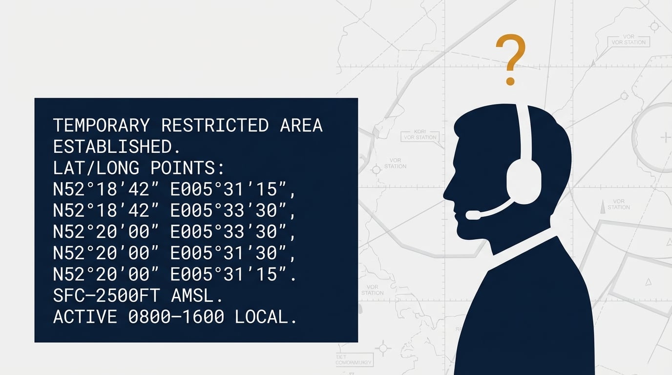
They're published as coordinates only:
"TEMPORARY RESTRICTED AREA N47°23'15" E025°42'30" RADIUS 5NM SFC-FL095"
Where is that? Could you plot it while briefing your flight? Would you even notice it buried in NOTAM text?
These are temporary restrictions and activity areas that exist only in the NOTAM system — not in your AIRAC data. In 2025, we counted already more than 52,000 of them across Europe. That's over 220 invisible airspaces created every day.
Your 28-day AIRAC chart knows nothing about them.
The numbers
We track this. Here's what 2025 looked like:
- 149,923 airspace activations via NOTAM
- 1,861 changes via AIP Supplements
- 416 airspace events per day on average
- 51% more AIP Supplement restrictions than early 2025
Military activity is up. Temporary restrictions are multiplying. A recent safety bulletin from a Dutch flight school listed the top cause of airspace infringements:
"Failing to thoroughly study NOTAMs, AIP SUPs, and current charts."
Dynamic Airspace Mapping
This is what EasyVFR does differently.
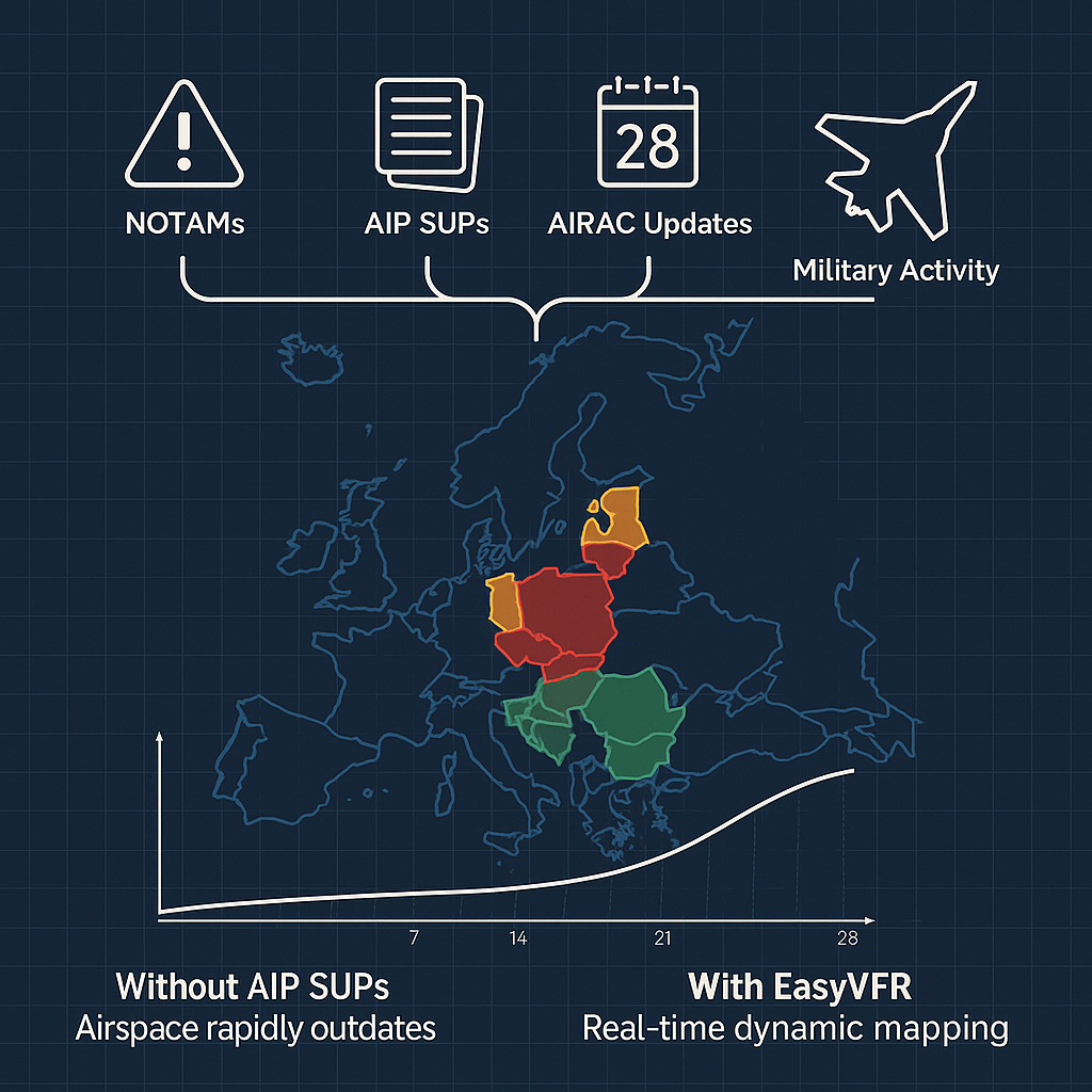
Instead of static 28-day AIRAC data, EasyVFR combines five live data sources:
- AIRAC cycle data — the baseline
- AIP Supplements — changes between cycles
- Amendments — corrections and updates
- NOTAMs — temporary restrictions and activations
- AUP/UUP — military activation schedules
All processed and displayed on your map — so you see what's actually active today.
We call this Dynamic Airspace Mapping.
Learn more: Dynamic Airspace Mapping Explained →
Why now?
Flying season starts in a few months. The time to check your tools is now — not when you're planning your first spring flight and discover your data is four weeks old.
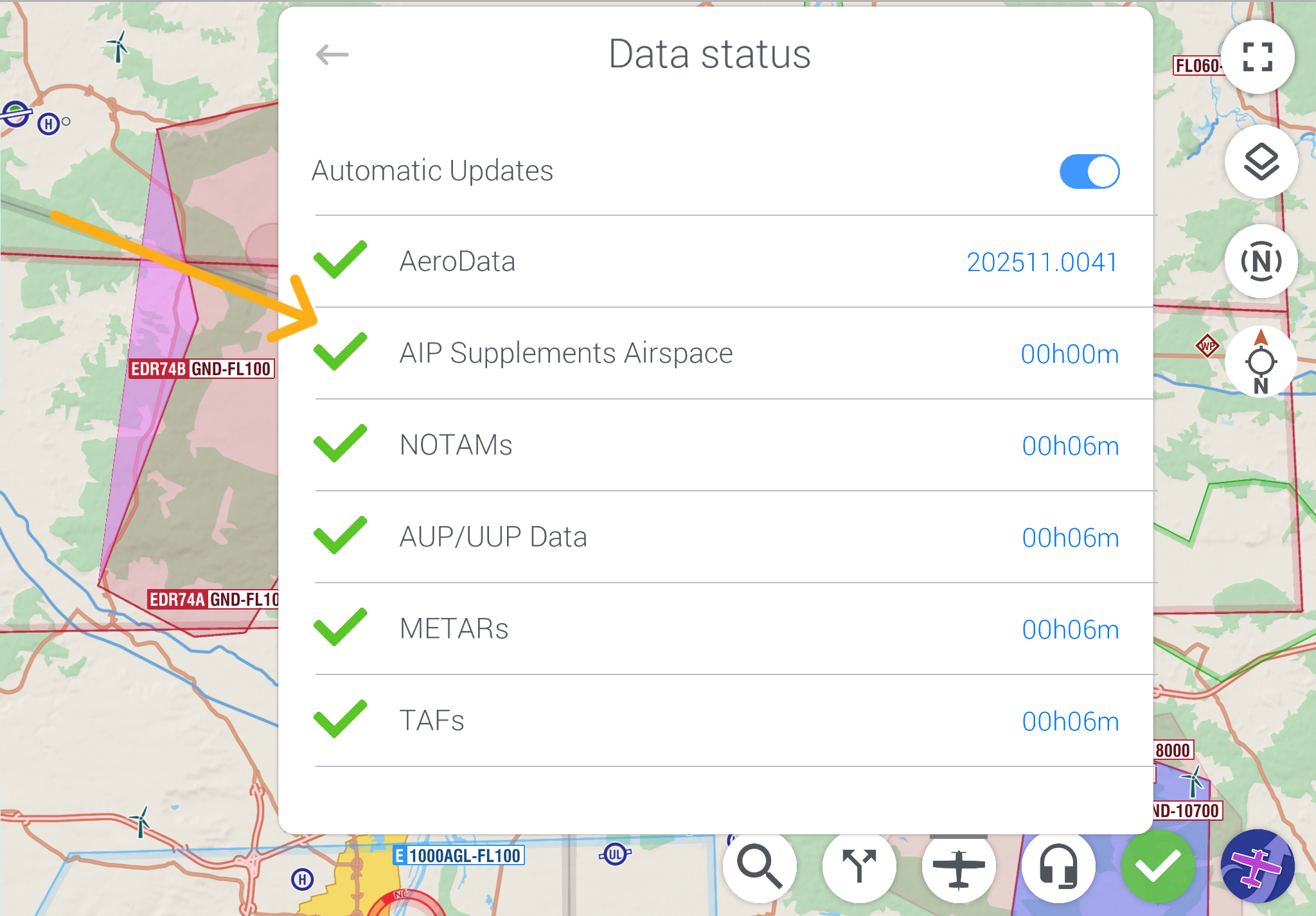
If you're already using EasyVFR: open the Status card, enable Automatic Updates, and tap AIP Supplements to pull the latest.
If you're not — consider whether 28-day-old data is a risk worth taking.
Have you had a close call?
Ever been surprised by airspace that wasn't on your chart? Tell us at [email protected] — your experience might help another pilot.
Fly safe, fly current,
The EasyVFR Team
More from our blog
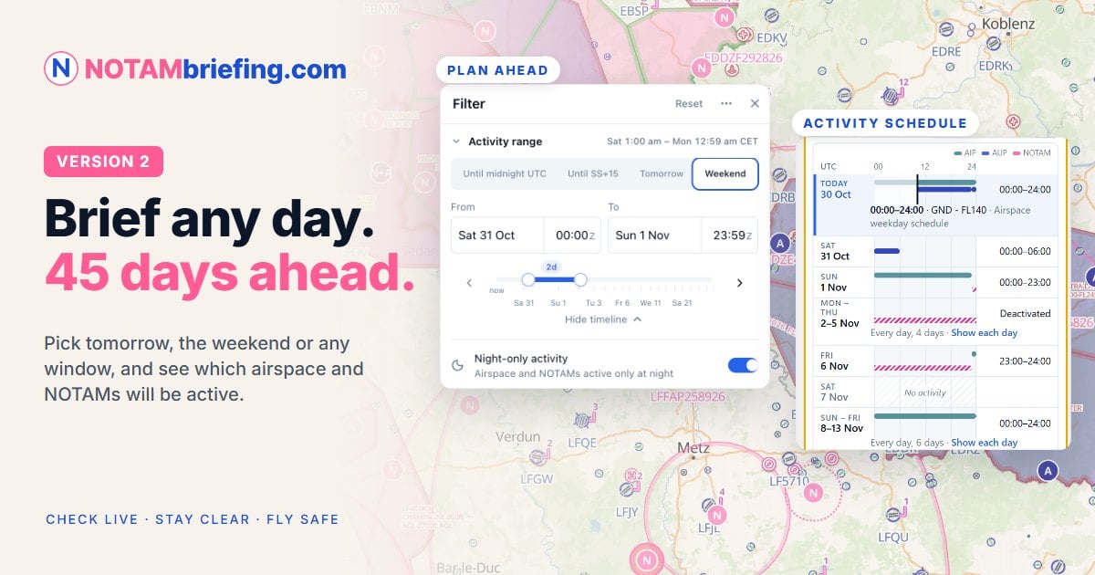
- NOTAMs: can you visualize N47°23'15" E025°42'30"?
Why NOTAM coordinates are hard to brief, and what they look like on the map. - Your airspace data was outdated 3 days after you updated it
How our AeroData team tracks AIP Supplements across Europe. - EasyVFR 4.6.7: Don't fly yesterday's data
AIP Supplement airspaces as their own download, between AIRAC cycles. - Now in EasyVFR: open the AIP Supplement documents from the map
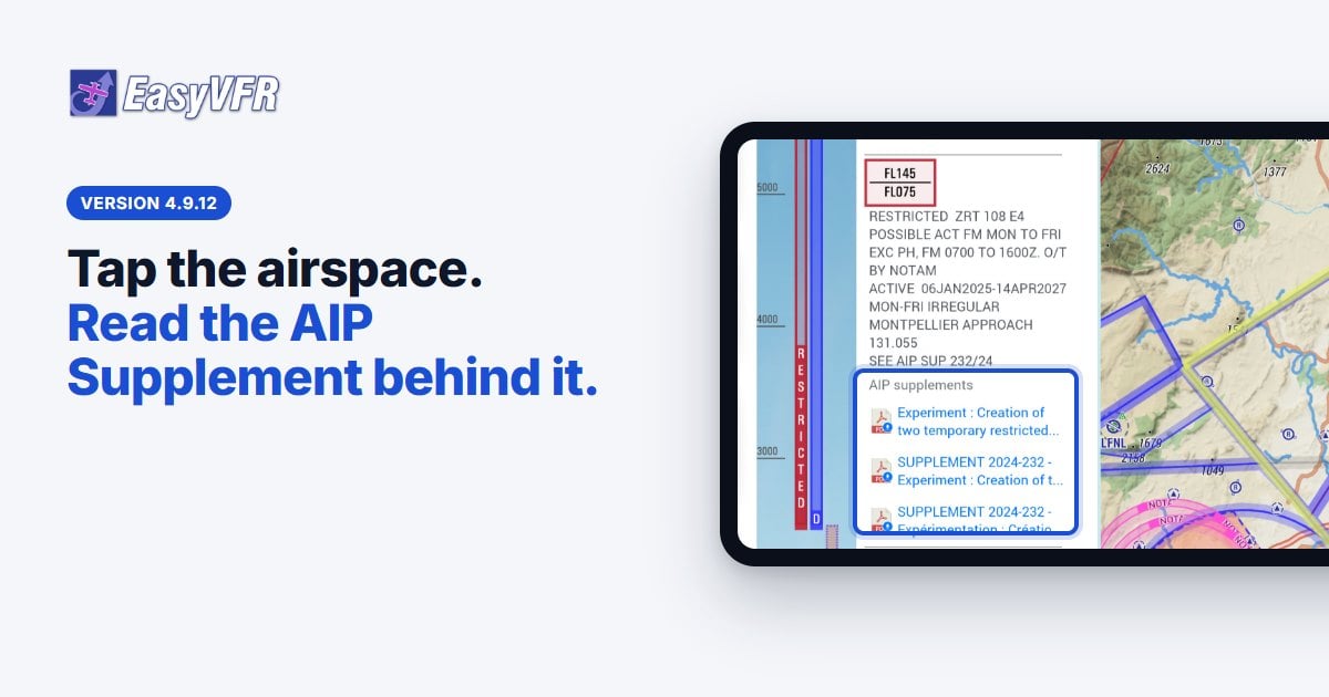
Read the official publication behind a temporary airspace.





0 Comments