
The NOTAM problem
Why NOTAM coordinates in text are hard to brief
Hello fellow aviator,
Last month we shared a number that surprised many of you: 54% of NOTAM-defined airspaces don't appear on any chart.
Several of you replied asking: how is that possible?
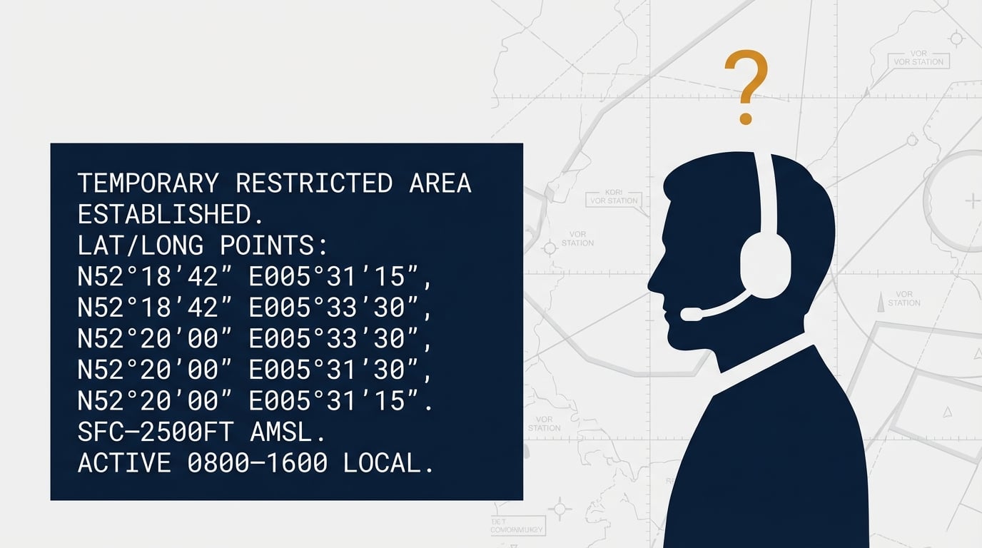
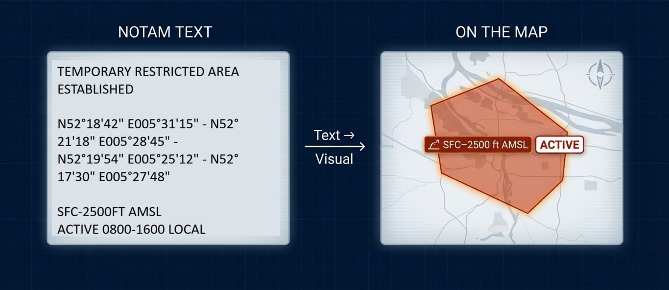
Here's a real NOTAM published this winter:
TEMPORARY RESTRICTED AREA ESTABLISHED
N52°18'42" E005°31'15" - N52°21'18" E005°28'45" -
N52°19'54" E005°25'12" - N52°17'30" E005°27'48"
SFC-2500FT AMSL
ACTIVE 0800-1600 LOCAL
Quick — where is that? Is it near your home airfield? Would it affect a flight from Lelystad to Rotterdam?
Two different problems
Not all NOTAMs are created equal. When a NOTAM activates an on your map existing airspace like “EHR2A” or “LRD01A BABADAG,” the job is straightforward: find it on the chart and check whether it’s active.
But coordinates-only NOTAMs are different: you have to turn coordinates into a shape first—then decide if it affects your route.
These are temporary restrictions created for specific events — military exercises, drone operations, VIP movements, emergency situations. They're not in your AIP. They're not on your chart. They exist only as latitude and longitude.
In 2025, we counted over 52,000 of these coordinate-only airspaces across Europe. That's more than 140 every single day.
Each one requires you to:
- Read the coordinates
- Convert them into a location (mentally or on paper)
- Work out whether your route intersects it
- Keep the altitude limits and active times in mind
The honest question
Be honest with yourself: do you actually do this?
Most pilots don't. Not because they don't care about safety — but because it's genuinely difficult. Lat/long coordinates don't translate into geographic awareness. Your brain thinks in landmarks, routes, and distances. Not degrees, minutes, and seconds.
This is why airspace infringements keep happening. A pilot reads the NOTAM briefing, sees coordinates, can't picture where they are, and assumes it's "probably not on my route."
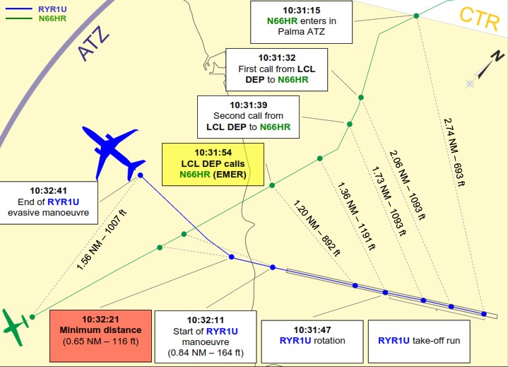
Sometimes they're right. Sometimes they end up 116 feet from a Boeing 737. (see our previous post →)
What visualization actually looks like
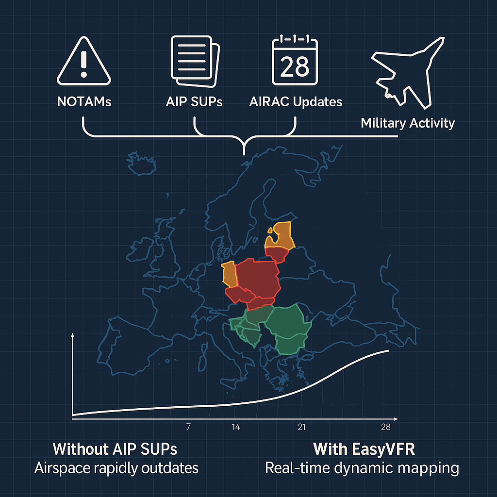
This is what Dynamic Airspace Mapping solves.
Every NOTAM-originated airspace — whether it's an activation of a named area or a coordinate-only restriction — gets processed and drawn on your moving map. The coordinates become a visible shape. The shape has color-coding for status. You can see at a glance: does my route go through this?
No mental math. No hoping you interpreted the coordinates correctly. No assuming it's "probably fine."
The airspace that existed only in NOTAM text is now something you can actually see.
The numbers behind the problem
Here's what our data team processed for European airspace in 2025:
- 149,923 total NOTAM activations across Europe
- 52,322 coordinate-only restrictions (no chart reference)
- 416 airspace events per day, average
- 55% increase in activity from Q1 to Q4
European airspace is getting busier. Military exercises are more frequent. Drone operations are expanding. Temporary restrictions are multiplying. The NOTAM list isn't getting shorter. It's getting longer.
Try it yourself
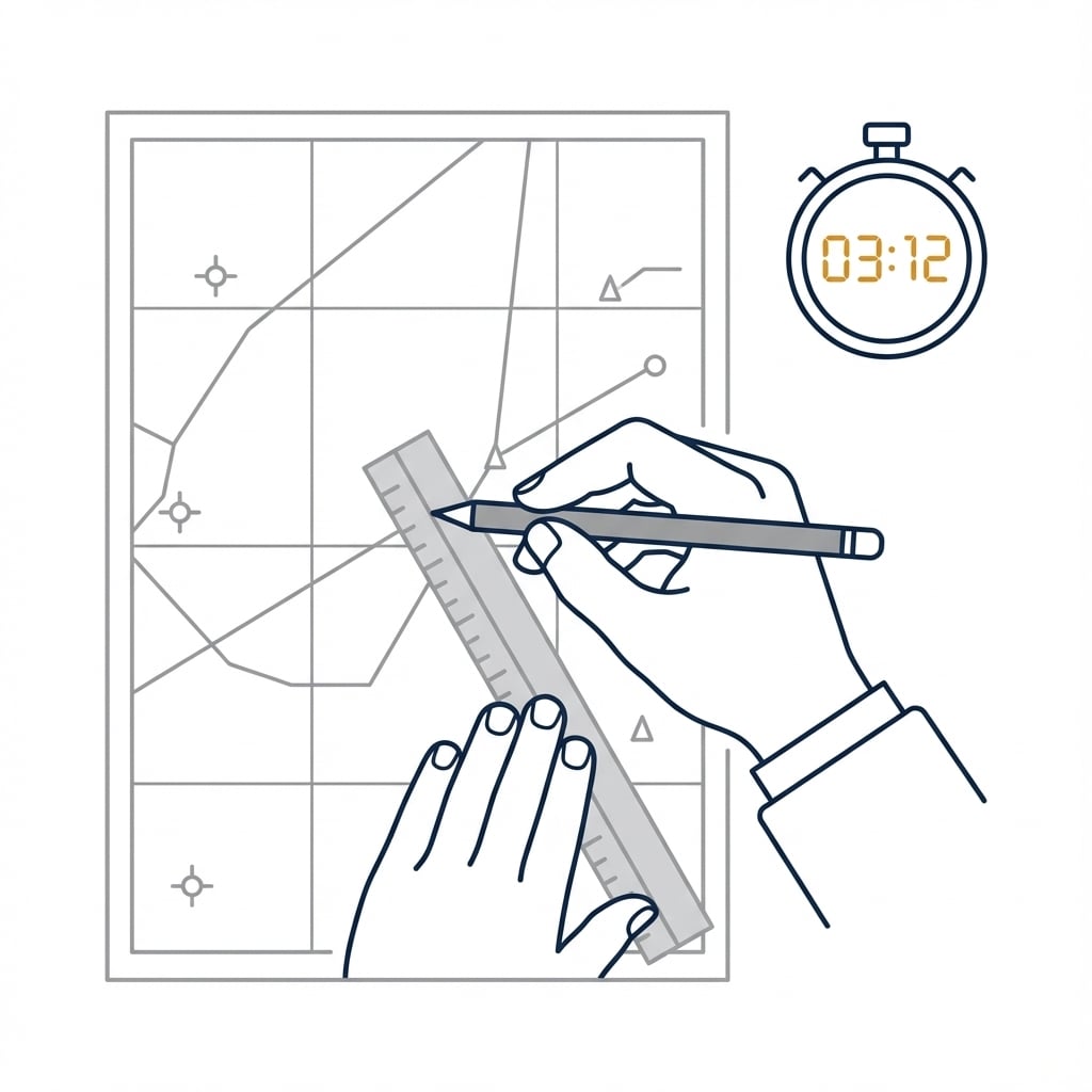
Next time you do a NOTAM briefing, pick one with coordinates and try to plot it on a paper chart.
Time yourself.
Then ask: would I do this for every coordinate-only NOTAM, every flight?
If the answer is no—and for most pilots it is—the key is to turn NOTAM coordinates into something you can actually see on the map.
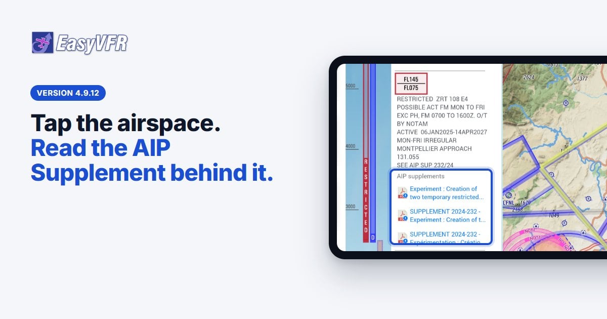
EasyVFR Essential already plots coordinate-only NOTAM areas.
Dynamic Airspace Mapping: how it works →
Want the full NOTAM workflow (beyond plotting)?
Live and Pro add:
- NOTAM filtering (see what matters for your flight)
- Airspace Activations + AUP (what’s active today)
- Unlimited European countries
- (Live) Traffic via GDL90
Not sure which plan fits? See Essential vs Live vs Pro features →
Your NOTAM stories
Last month we asked about close calls. Several of you shared stories of discovering restricted airspace you'd missed in the briefing. Thank you — these real experiences remind us why this matters.
Have you ever struggled with a coordinates-only NOTAM? Share your experience at [email protected].
Fly safe, fly current,
The EasyVFR Team




0 Comments