
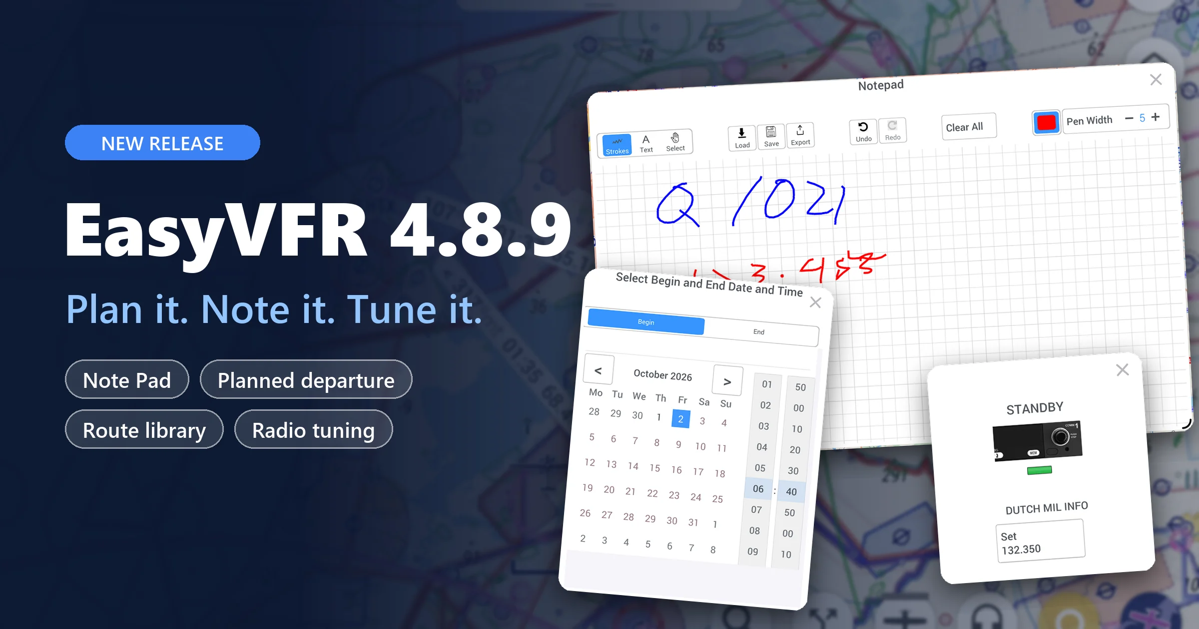
We're thrilled to announce the latest update to EasyVFR 4! 🚀 This update is packed with features, boasting 18 brand-new tools, 11 enhancements, and 22 fixes. Here's a quick rundown of what's new and improved:

Radio and Position Card
Exciting News for Immediate Radio Communication Needs!
Today marks a significant enhancement in your EasyVFR 4 experience with the launch of the upgraded Radio and Position card. Upon tapping the 🎧 button, you'll discover a streamlined interface displaying the frequencies for your Departure and Arrival airfields. As you progress in your journey, stay updated with the 'Now' and 'Next' airspace information, presented in an easily digestible format, with crucial actions prominently highlighted for straightforward understanding.


How long an airfield is considered as a departure or arrival location, is based on the Departure and Arrival Duration settings introduced in the below context menu Auto Zoom.
Additionally, Live, Pro, and FFM users can directly view the Airspace Activation status in this Radio and Position card.
We're keen to receive your feedback on this new feature and to learn how it enhances your flying experiences. Today's Radio card update is the first in a series of iterations aimed at delivering clean and flight-stage-relevant information. More updates are on the horizon, so stay tuned!
AeroData Summary Bar and Route Actions
Previously, only when tapping on an airfield brought up the summary bar containing frequently used information for that object.
AeroData Summary Bar : Now, tapping on any AeroData object (like VFR-Reporting-points, User Waypoints, Places, VORs, etc.) will also display it.
Route Actions in Summary Bar 📍: We’ve noted that many users were inquiring about initiating a route via map tapping. To clarify, route actions are now accessible in the summary bar, facilitating quicker addition, insertion, and removal of waypoints, despite the preliminary design.

New UI Tool - Context Menus
We've introduced a Context menu UI element, a convenient tool that provides access to functionality directly related to an item without cluttering the map and interface. Under the hood, our context menu design is very flexible, paving the way for many upcoming use cases. Today's update starts with the Display, Weather, and Map Orientation context menus.
On the right side of the display, you will now find Display, Weather, and Map Orientation buttons. Tapping these buttons opens a small card offering quick options while maintaining most of the map's visibility.
You can easily reposition these cards by dragging the top edge of the card.
When flying, the card size increases by 30%, ensuring better usability during bumpy flights. When in flying mode the context menu size can be adjusted by two-finger pinch zooming on the menu card itself. The resizing is persistent when restarting the app.
Display Context Menu
Includes options to [Hide Buttons], show [Vertical Profile] and [Instruments Ribbon], [Lock Touch] (unlock with a three-finger tap), and access [Readability] settings.

Map Orientation and Auto Zoom Context Menu
Tapping on the Map Orientation button (compass icon) now presents you with two new options: "Course Up" and "Auto Zoom".
- Zoom on Re-Center 🎯: When Auto Zoom is enabled, and you're flying, the "Re-Center Position" not only recenters the map to your current position but also auto-zooms, aligning with the behavior of other aviation and car apps.
- Course Up 🛤️: With "Course Up," the current leg's course will be positioned at the top of the moving map.

- Auto Zoom 🔎: Automatically zooms in and out based on the preferred zoom level for your flight phase. Whether you’re taxiing, departing, cruising, or approaching your destination, Auto Zoom adjusts the camera altitude automatically to ensure EasyVFR always provides the perfect map view. This feature is controllable via Map Orientation -> Auto Zoom on the right side of the screen. To view or set the zoom level per flight phase, press [View] or [Set], respectively. For Departure and Destination, you can also set the time at which you are in that flight phase. The Duration is calculated based on ground speed in a straight line.

Other Noteworthy Updates
- Geoidal Separation Model: Android users, rejoice! We've incorporated a geoidal separation model to deliver improved GPS altitude readings, bringing Android on par with iOS behavior.
- Flight Log Review for Essential Users: Good news for Essential users! You can now conveniently review flight logs directly on the map.
- Streamlined Unit Preferences: Your preferred default units are now clearly displayed in Preferences -> Units, making it easier than ever to personalize your settings.
- Full-Screen Support for Android: We've addressed a common issue with larger and newer Android devices where the screen wasn’t fully utilized. Now, enjoy a full-screen view without any hindrance.
- Enhanced Traffic Filtering: Traffic now includes a handy "Filter only in Flightmode" option. This feature is enabled by default but can be easily toggled off for Vertical Filtering when in planning mode.
- .fpl Files: You can now import and export FPL routes. A commonly used application for sharing routes in the FPL format is ForeFlight.
- TripKit Name: For Flight Documentation TripKit generation, EasyVFR 4 will now suggest a more intuitive default filename, moving away from the generic "tripkit.pdf".
- FIR EET Times: We've improved the accuracy of FIR EET time calculations for flight plans that closely follow FIR boundaries.
There are many more new, improved, and fixed features in this release. See the release notes for all the details.
How to Update EasyVFR 4?
- On iOS? Head to the iOS AppStore.
- On Android? Visit the Google Play store.
- Using macOS on Apple Silicon? Check the AppStore for iOS apps.
- For Windows, macOS X, and Catalina users, find the latest downloads in our knowledge base.
In a nutshell, this update showcases our commitment to providing pilots with the best tools. We can't wait to hear what you think about EasyVFR 4.2. Once you've tried it, share your thoughts in the comments. And stay tuned - more exciting features are on the way!
Safe flights and smooth navigating!
Team EasyVFR
New here? Let's get started
✍️ Create your EasyVFR 4 account today and download the app. Create account
If you already happen to have an EasyVFR 3 Standard or Frequent Flyer Membership (FFM) license that you bought directly with us, it'll work for EasyVFR 4 as well - no charge.
Download EasyVFR 4 and take it for a spin. Let us know what you think in the comments and don’t forget to check back soon for even more great EasyVFR 4 features coming your way.



Does this program cover North America?
Hi Richard,
Thanks for your message. EasyVFR 3 does cover North America, but EasyVFR 4 doesn’t (yet).