
Planning a flight the old fashion way can make you drown in an ocean of information. Provided in many forms and shapes as ICAO charts - VFR plates - AIPs- SUPs - NOTAMs - AUPs, and many more regional sources. Not to mention all the variations between countries and airfields in map design, procedures, where to find what, and even local habits.
EasyVFR 4 makes your life easier by bundling, filtering, and linking all sources in one convenient app. Recognizing what is relevant for the day of the flight, the selected aircraft, forecasted weather, airspace reservations, personal preferences, and the planned route.
To do this job best, EasyVFR 4 can benefit from all the aviation information we can provide on top of what it already uses. That is why we started a few months ago a new data project. To enhance our existing validation processes, exploring new official sources, and rethink how users can benefit from this effort.
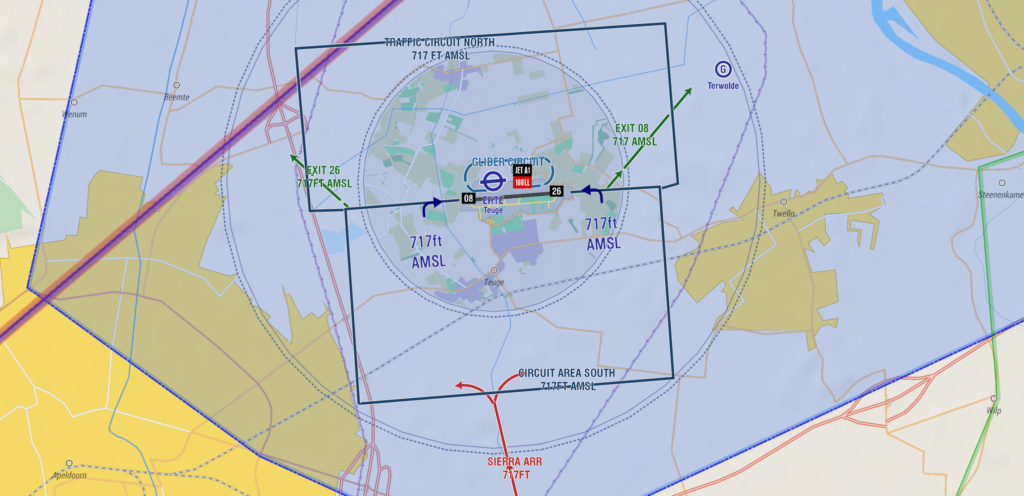
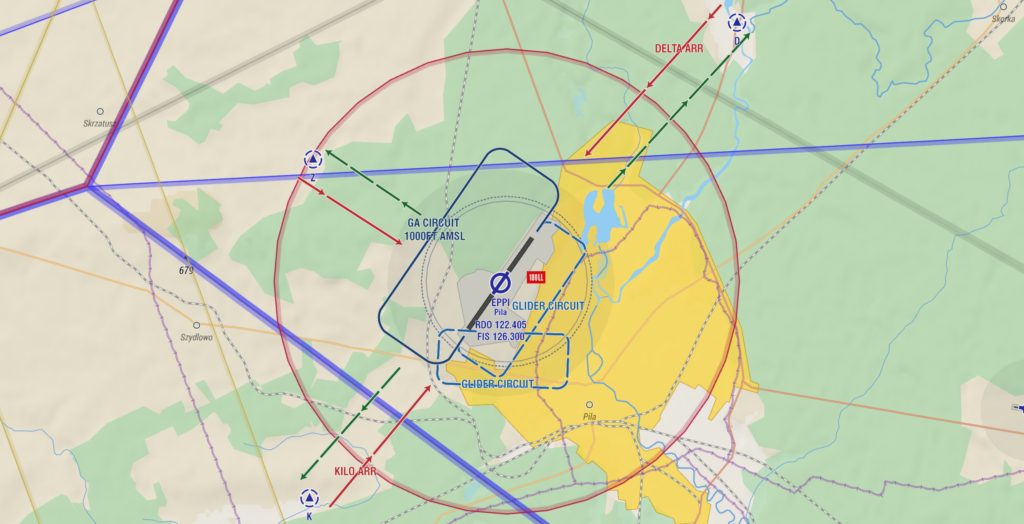
Via a series of EasyVFR app and AeroData updates in the coming period, you will get access to a lot of new sweets. Starting today with Arrival and Departure routes within EasyVFR 4!

With beta version 4.0.911 we introduce a new airfield information layer. Starting with Arrival and Departure routes for all airfields that have a VFR reporting point. Germany, Sweden, Finland, Poland, Norway, Netherlands, Belgium, Austria, Switzerland and Denmark are available. The UK, Ireland, and France are next up, shortly followed by all other countries in EasyVFR 4.
- Update to EasyVFR 4 beta 4.0.911. Download.
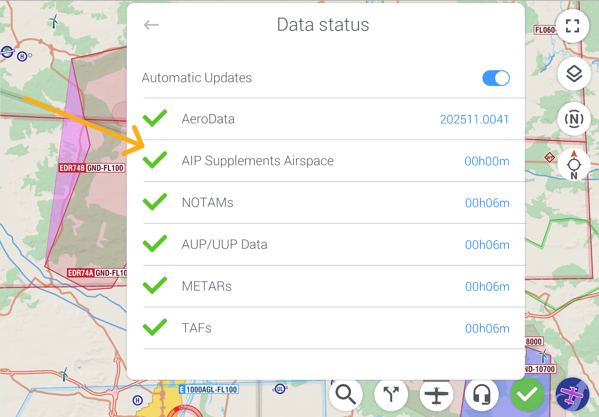
- Update all data : EasyVFR 4 menu -> Downloads Menu -> AeroData Validity Info -> [Update All Data].
Next up for the new airport layer are: Traffic circuits - Ground objects like taxi-ways, runway holding points, windsocks, fuel stations, ATS office - and more. Parallel to that effort, a variety of new airspace and inflight-related layers will be added. Soon more about this.
In the end, you will have basically everything that you need, to find your way to and at a new destination, all within one convenient place. Saving you time to focus on what you need to know, instead of searching through countless publications and websites.
New to EasyVFR 4? Let’s get started!
✍️ Create your EasyVFR 4 account today and explore 30 days for free. Create account and start Trial
If you already happen to have an EasyVFR 3 Standard or Frequent Flyer Membership (FFM) license that you bought directly with us, it’ll work for EasyVFR 4 as well – no charge.
? Download EasyVFR 4 and take it for a spin. Let us know what you think in the comments and don’t forget to check back soon for even more great EasyVFR 4 features coming your way. ?



0 Comments